Epic Rides: Alabama’s Skyway to the Summit
- Zach Janik

- May 6
- 3 min read
When you think of Alabama, your mind might drift to the Gulf’s sugar-white sands or the rolling rhythm of the Delta. But there is a secret held by the northeastern corner of the state, a place where the humidity thins, the temperature drops, and the road rises to meet the clouds.
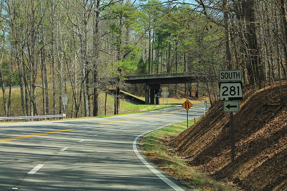
This is the Talladega Scenic Drive (SR-281). It isn’t just a road; it’s the "Skyway" of the South, a ribbon of asphalt that skirts the spine of the southernmost Appalachian Mountains. For riders who crave elevation and the kind of isolation that only a National Forest can provide, this is the ultimate Alabama pilgrimage.

The journey begins near the quiet town of Heflin, where you turn off US-78 and onto State Route 281. Immediately, the world changes. The dense canopy of the Talladega National Forest closes in, and the air takes on that crisp, evergreen scent that signals you’ve left the flatlands for good.
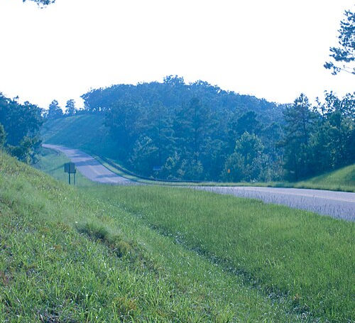
The first ten miles are a masterclass in gradual elevation. The road sweeps through long, rhythmic curves that allow you to find your flow without fighting the bike. It’s a rhythmic warm-up, teasing you with glimpses of the valley floor through the hardwood trees, shades of emerald in the spring and a fiery palette of crimson and gold in the late autumn.
As you climb higher, the curves tighten and the "scenic" part of the drive earns its name. You’ll find yourself leaning into switchbacks that lead you toward the crown jewel of the route: Cheaha State Park.
At 2,407 feet, Mount Cheaha is the highest point in Alabama. It might not rival the Rockies in sheer height, but the prominence is staggering. Standing at the Bunker Tower or the edge of the granite outcroppings, you realize you aren’t just looking at a view; you’re looking at the curvature of the earth. On a clear day, the visibility stretches for 40 miles, revealing a patchwork of wilderness and distant rural settlements that feel like they belong to a different century.
The Gearhead Stop: Pull over at the Cheaha Store. Grab a cold drink, soak in the panoramic vistas from the observation deck, and swap stories with the other riders who inevitably congregate here. It’s the unofficial headquarters for anyone on two wheels in the Deep South.
Beyond the state park, the road stays high, following the narrow ridge of the mountain. This is the most technical and rewarding section of the ride. To your left and right, the land falls away into the Cheaha Wilderness, leaving you feeling like you’re balanced on a tightrope of asphalt.
Keep your eyes peeled for the "Blue Haze" a natural phenomenon where the lush forest releases moisture that catches the sunlight, draping the valleys in a soft, sapphire mist. It’s a surreal backdrop for the miles of pristine, well-marked pavement that seem to have been designed specifically for a motorcycle's lean angle.

The pavement continues south, eventually reaching Adams Gap. Here, the paved Skyway ends abruptly where the Forest Service roads begin. It’s a quiet, contemplative spot to shut off the engine and listen to the wind through the pines.
You have two choices here: turn back and experience the twists in reverse (highly recommended), or take the tight, technical descent down toward the town of Lineville. Either way, you’ll leave the mountain with a newfound respect for Alabama’s high country.
Route at a Glance
Distance: Approximately 30 miles (one way).
Elevation Gain: From near sea level to 2,407 feet.
Road Quality: Excellent, though watch for occasional fallen leaves or debris in the tightest shaded corners.
Best Time to Ride: Late October for the peak foliage, or April for the blooming mountain laurels.
Pro Tips for the Skyway
Watch the Grades: Some sections hit a 9% grade. Keep your gear selection in mind, especially on the descent, to avoid overheating your brakes.
Fuel Up Early: There are no gas stations on the ridge itself. Fill your tank in Heflin or Oxford before you start the climb.
The "Backdoor" Route: If you want more twisties, look for the turn-off toward Anniston/Talladega near the park entrance. It’s a narrow, older road that offers a "roller coaster" feel compared to the sweeping Skyway.
Wildlife Alert: This is a protected wilderness. It is very common to see deer, wild turkeys, and even the occasional black bear crossing the road. Ride accordingly.


